Another winter wallop on the way
Posted Mar 17, 2015 08:08:04 AM.
This article is more than 5 years old.
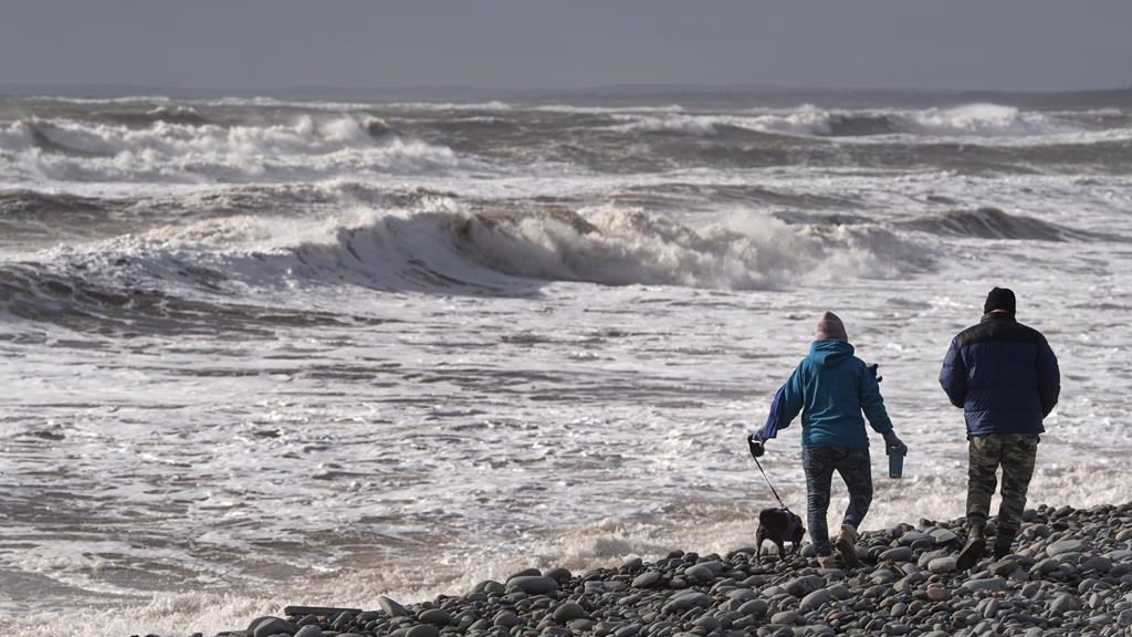
Halifax braces for another winter storm with up to 20 centimetres of snow expected on the ground by Wednesday.
It’s a winter some Haligonians say they’ll never forget with back-to-back winter storms and record snowfall amounts for some areas of the Maritimes.
News 95.7 meteorologist Richard Zurawski says, this time, it’s not just about the snow.
“Well, it looks like the wind is going to be playing an issue. And again we get blowing and drifting snow, with winds gusting to 50 or 60 kilometres overnight,” he said. “It also means we’re going to be getting blowing snow and frequent whiteouts.”
According to Zurawski, the first sign will be flurries later today.
“The snow is probably going to start late this afternoon or early this evening,” said Zurawski. “Overnight we’re expecting 15 to 20 centimetres of fresh snow and the winds will be gusting 50, maybe 60 kilometres an hour.”
Don’t be fooled by this morning’s sunshine, the disturbance will make its way along the south coast picking up moisture and intensifying.
“The heaviest stuff will be late this evening into the overnight period, and then gradually taper off.”
Zurawski said some areas could get up to 20 centimetres of snow as the storm continues into Wednesday.
It will be colder than normal by Thursday and windy which means blowing snow could still be an issue, however, warmer weather should reach us by the weekend.
“We’ve got another low pressure developing Friday, possibly Saturday, with mainly rain expected with this event,” he said. “But it’s still a little too early to tell.”